GAPdrone: Autonomous Aerial Intelligence
> Precision LiDAR-SLAM & Ecological Restoration from Above
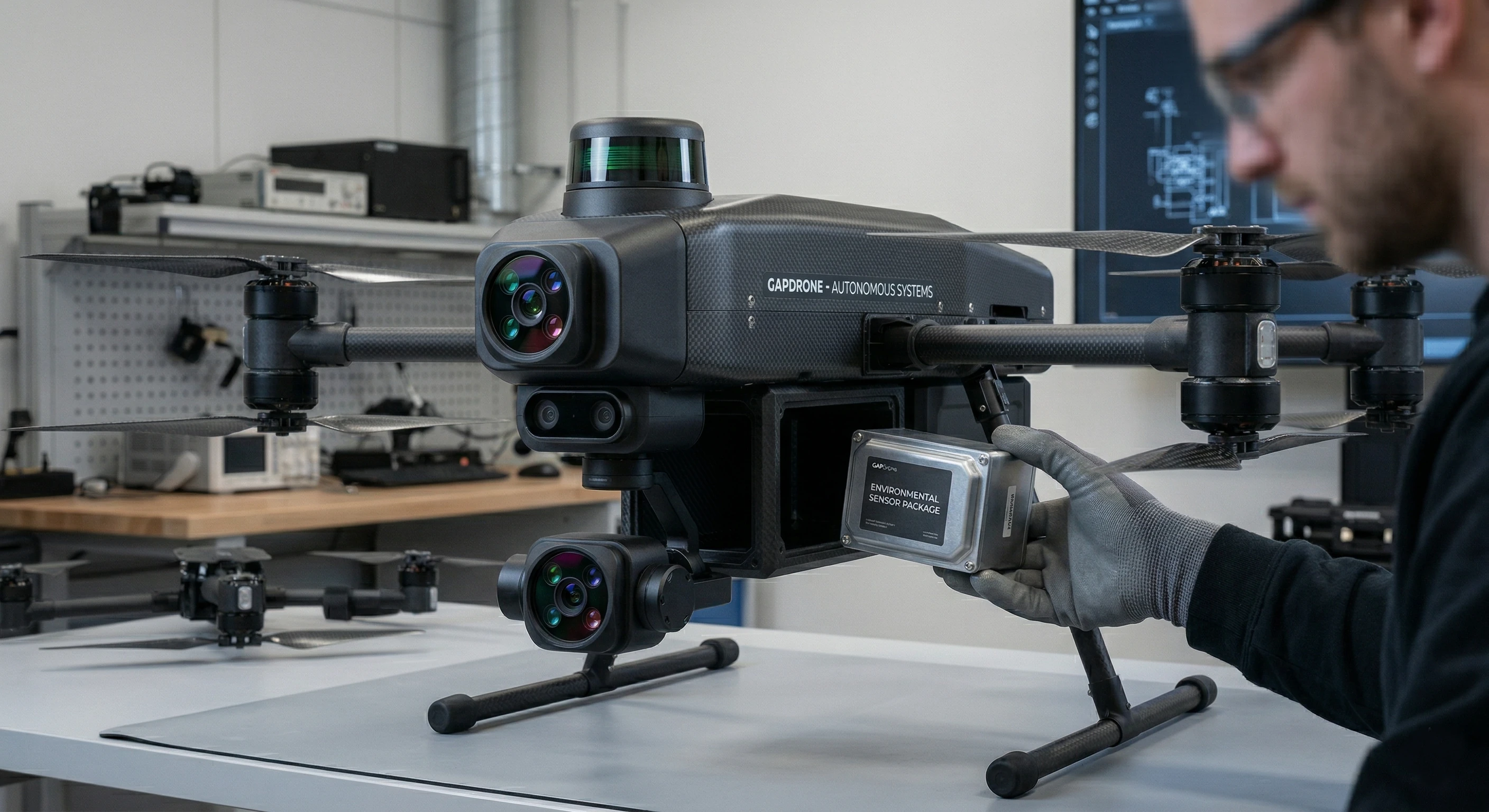
The aerial counterpart to our autonomous ecosystem. GAPdrone seamlessly integrates with the GAP platform to deliver high-resolution mapping, real-time analytics, and automated action across vast terrains.
Equipped with state-of-the-art Edge AI, GAPdrone processes environmental data on the fly, eliminating cloud latency and ensuring secure, immediate decision-making for agriculture, forestry, and infrastructure.
// CORE_DIRECTIVES
- ◈Precision LiDAR-SLAM for highly accurate 3D mapping and navigation.
- ◈Autonomous ecological restoration, including targeted seed dispersal.
- ◈Real-time crop health and soil moisture monitoring.
- ◈Seamless swarm intelligence integration with GAPbot ground units.

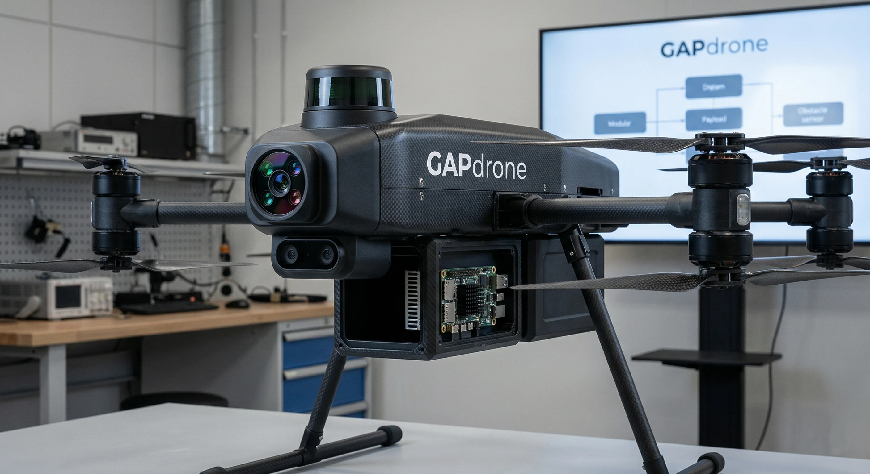
ARCHIVAL SPECIFICATIONS
RAW HARDWARE & SOFTWARE INTEGRATION METRICS FOR GAPDRONE AERIAL EXTENSION.
0x01ROS 2 / MicroXRCE-DDS
Seamless integration into the GAP Platform is achieved via MicroXRCE-DDS bridging PX4 and ROS 2. This enables real-time telemetry streaming and synchronized mission control with ground-based GAPbots without relying on central broker nodes.
0x02LiDAR-SLAM (FAST-LIO2)
Utilizing the FAST-LIO2 algorithm, GAPdrone generates highly accurate, dense 3D point clouds in real-time. This spatial data is instantly shared with the GAP Platform to construct the 4D Digital Twin, allowing ground units to pre-plan optimal paths through unstructured terrain.
0x03P2P Mesh Networking
In environments lacking 5G/LTE (e.g., deep forestry, disaster zones), GAPdrone acts as an aerial repeater node. Using B.A.T.M.A.N.-adv and Husarnet, it establishes a decentralized, Post-Quantum encrypted mesh network, ensuring swarm communication remains uninterrupted.
// RAW_SYSTEM_VARIABLESGAPDRONE_MK1